

NPAA Launches High-Tech Operation to Identify Structures Facing Removal in Protected Areas

 Sia Lucy Kannah
 The National Protected Areas Authority (NPAA), through its Geographic Information System (GIS) Unit, has commenced Phase Two of its GIS Mapping Exercise as part of the ongoing assessment of encroachment within protected areas.
The exercise covers the stretch from the Tacugama Chimpanzee Sanctuary to Brandon-Height and focuses on the detailed mapping and verification of structures and developments identified within protected area boundaries and designated demolition zones.
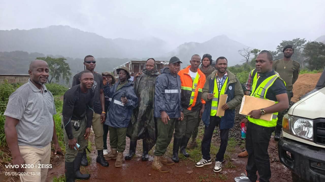

According to NPAA, the team is using GPS field surveys, high-resolution satellite imagery, and Geographic Information System (GIS) technology to collect accurate spatial data that will support evidence-based decision-making and guide planned enforcement actions.



The authority noted that the exercise forms part of its commitment to protecting Sierra Leone’s protected areas by ensuring that mapping outputs are technically sound, transparent, and suitable for conservation planning and environmental management.
Upon completion, detailed GIS maps and technical reports will be submitted to guide the next stages of the intervention.