
.
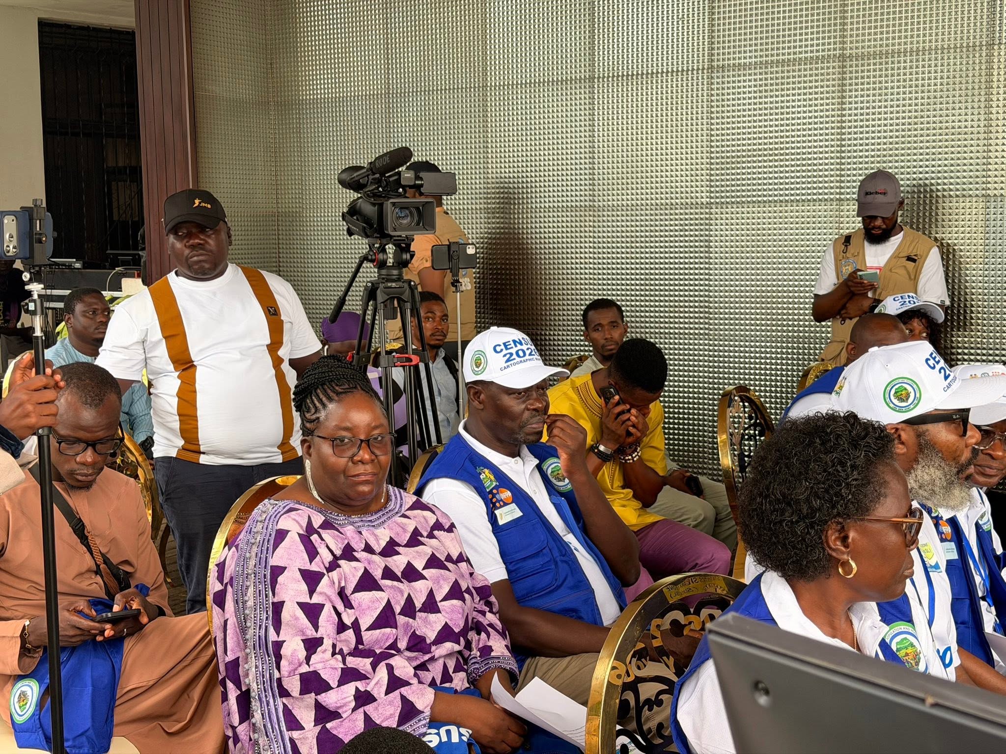
Statistics Sierra Leone today marked the successful completion of its nationwide Cartographic Mapping Exercise with a symbolic mapping of the Presidential Lodge at Hill Station, closing a key preparatory phase ahead of the upcoming 2026 Population and Housing Census.
The symbolic exercise, carried out at the Presidential Lodge, is described as more than a ceremonial activity. According to Stats SL, it signifies the completion of nationwide cartographic groundwork that identified settlements, defined administrative boundaries, and integrated geographic features into a unified digital mapping system across Sierra Leone.

With this milestone achieved, the institution is now expected to transition into the enumeration phase of the census, supported by improved field logistics, clearly defined operational boundaries, and enhanced public confidence in the process.
Over the past several months, Stats SL implemented a nationwide mapping campaign combining field verification, satellite imagery analysis, and digital boundary delineation. The exercise captured detailed geographic information including household locations, public institutions, road networks, and natural landmarks.
The collected data were standardized and integrated into a central Geographic Information System (GIS), designed to support census planning, enumeration, and overall data accuracy.
Officials noted that the selection of the Presidential Lodge for the symbolic mapping underscores national ownership of the census process, reinforcing the principle that mapping standards apply uniformly across the country—from remote communities to key state institutions.
The event also served as a public demonstration of the readiness of mapping teams and the reliability of the geographic framework that will guide enumerators, supervisors, and logistics planners during the nationwide exercise. It further provided an opportunity for Stats SL to reaffirm its commitment to transparency, inclusivity, and statistical integrity.
Moving forward, Stats SL is expected to complete final validation of mapped areas while intensifying training for enumerators and supervisors on the use of digital tools and geographic maps in the field. The agency will also roll out public awareness campaigns to sensitize citizens ahead of field deployment.
The completion of the cartographic phase is widely regarded as a foundational milestone for the census. By establishing a precise and verifiable geographic framework, Stats SL has strengthened both the technical foundation and public legitimacy of the 2026 census process, paving the way for a nationwide enumeration aimed at producing accurate and development-relevant data for national planning.