

 Post a comment
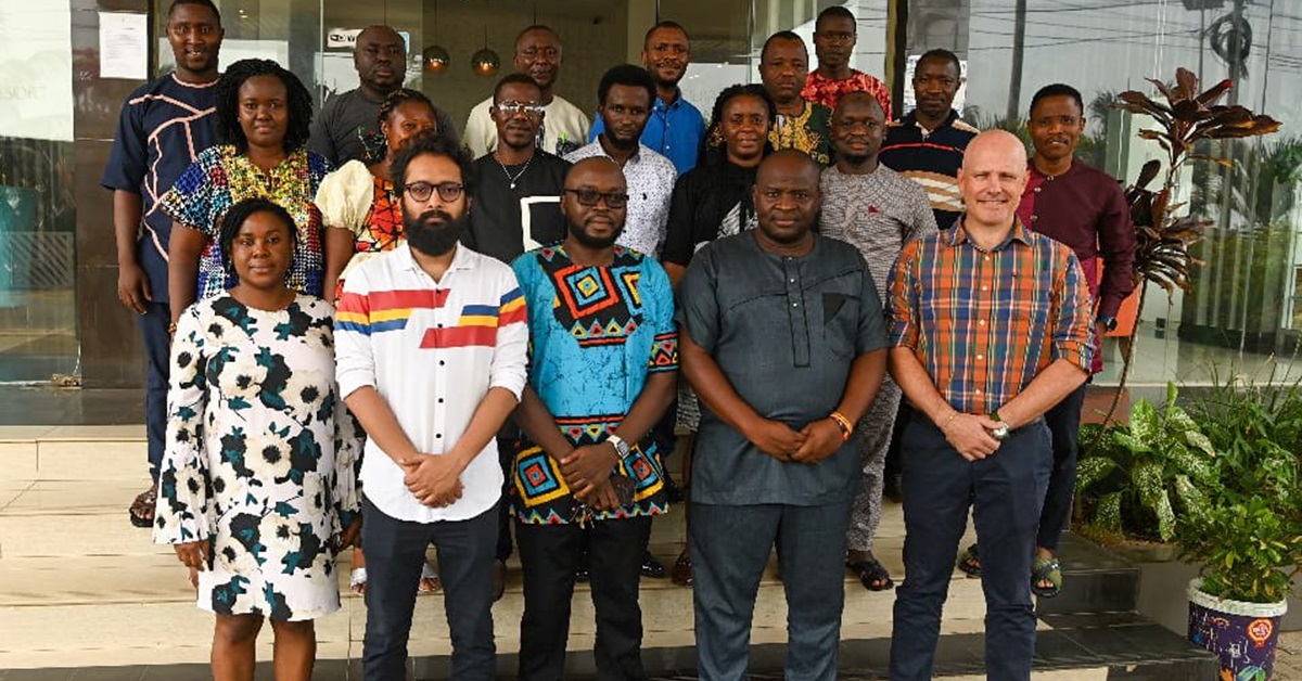
FAO and the Forestry Division of the Ministry of Environment and Climate Change started a two-week training and data collection activity from April 15th to 26th.
The training and data gathering activity was attended by 16 participants (13 males and 3 females) from various government ministries and departments which included the Forestry Department, National Protected Areas Authority (NPAA), Environment Protection Agency (EPA), Statistics Sierra Leone, Ministry of Agriculture and Food Security, Ministry of Lands, Housing and Country Planning, Njala University, Fouray Bay College University of Sierra Leone, Sierra Leone Agricultural Research Institute (SLARI), and Gola Rainforest Company – Limited by Guarantee.
The training programme aimed to help create strong skills for collecting land cover information using an online geospatial technology called Collect Earth Online (CEO). This event generated data relevant for estimating the distribution of land cover in Sierra Leone for the purpose of designing a National Forest Inventory. The training strengthened the capacity of government institutions for accruing, storing, and processing remote sensing data for land cover classification.


Following the training, participants gained a solid grasp of the Geo-spatial data collection tool, Collect Earth Online (CEO). Participants also developed a range of valuable skills, such as survey design, rule establishment, and data quality control and assurance. Significant improvement was also noted in their capacity for image interpretation.
They also learned to adhere to agreed land cover classes for data collection, resulting in the availability of a land cover dataset crucial for the National Forest Inventory (NFI) design. Results from the data collection activity will be shared with the project steering committee as well as stakeholders and interested parties.


Comment(s)
Disclaimer: Comments expressed here do not reflect the opinions of Sierraloaded or any employee thereof.
Be the first to comment