Officials from Guinea and Sierra Leone have reached a milestone in the long-standing Yenga border town discussions by formally agreeing on the production of boundary documents.
This agreement was reached on the third day of deliberations by the Technical Committee of the Joint Boundary Commission held in Kailahun town, signaling progress in a decades-old territorial disagreement.
The meeting saw participants divide into three specialized working groups—administrative, cartographic, and legal—each tasked with examining different aspects of the boundary dispute.
The administrative group focused on reviewing treaties, diplomatic exchanges, meeting minutes, and declarations dating back to 1885. These documents, originating from both British and French colonial authorities as well as post-independence administrations, are crucial for understanding the historical context of the border.
The cartographic group examined maps spanning from the colonial era to the present day. It was noted that most maps were created by British and French cartographers, and despite language differences, they provided consistent geographic information, reinforcing established border demarcations.
Meanwhile, the legal group assessed the legitimacy of the reviewed documents, ensuring that all relevant legal frameworks were accounted for in the boundary documentation process.
The committee concluded that historical documents consistently point to a defined boundary and that modern geospatial technology can accurately locate existing boundary markers.
However, Falla Ensa-N’Dayma, Regional Secretary General of the Makona River Organization, emphasized that this is just the beginning of a long journey, but a journey both nations have committed to undertaking together, under the guidance of the African Union Commission.
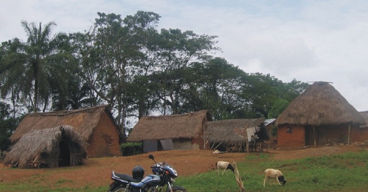
The border dispute between the two nations have centered on Yenga, a village in Sierra Leone’s Kailahun District, which Guinea has occupied since the Sierra Leonean civil war. Despite multiple agreements—including a 2005 accord recognizing Yenga as Sierra Leonean territory—Guinean troops have remained, leading to periodic flare-ups.
In recent years, Sierra Leoneans in Yenga have reported intimidation by Guinean forces, including the destruction of property and the erection of unauthorized border pillars. Diplomatic efforts, including interventions by Sierra Leone’s Foreign Minister Timothy Kabba and President Julius Maada Bio, have yet to fully resolve the issue.
The latest agreement on boundary documentation marks a crucial milestone, offering hope for a definitive resolution. Both nations have pledged to continue working together under the framework of the Mano River Union and the African Union to ensure lasting peace and stability in the region.


The NMA cadastre map of Sierra Leone has already ceded Yenga to Guinea whilst on other maps it is in owned by the former country.
Lie.