
The Government of Sierra Leone has through the Ministry of Mines and Mineral Resources launched a Mining Geodata Obtained in 2019.
The launched data was obtained from a Geophysical survey done in 2019 with support from the World Bank.
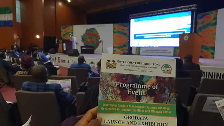
‘Leveraging geo-data management systems and good governance to improve the mines and minerals sector’ was the event’s theme.

Geodata is information about geographic locations that are stored in a format that can be used with a geographic information system (GIS).
The launch event showcased deliverables from the Nationwide Airborne Geophysical Survey (“NAGS”) and the Enterprise Geoscientific Information Management System (“eGIMS”) and the NMA Strategic Plan 2020 – 2025 (“SP 2020-2025”).
“The Geodata is at the best resolution for any nationwide survey anywhere in the world. This data is also useful for water, planning, and other applications,” said David Moinina Sengeh, Minister of Basic and Senior Secondary School Education and Chief Innovation Officer of the Directorate of Science Technology and Innovation in a social media post.
Present for the event was His Excellency the President Julius Maada Bio, Government Stakeholders, and members of the private sector.


